Understanding Smoke Maps and Their Impact on Air Quality
Introduction
The significance of smoke maps has increased in recent years, especially with the rise in wildfires across Canada. These maps are crucial tools for individuals and communities, providing real-time data on smoke density, air quality, and health risks associated with smoke inhalation. As climate change continues to impact weather patterns, understanding smoke maps becomes even more relevant for public health and safety.
The Role of Smoke Maps
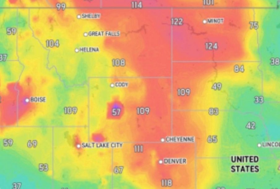
Smoke maps display the concentration of smoke particles in the air, offering vital information on air quality. They help users understand when and where hazardous smoke levels might occur, which is crucial for vulnerable populations such as children, the elderly, and individuals with respiratory conditions. In Canada, smoke maps are generally provided by government environment agencies that utilize satellite imagery and ground-level monitoring to track smoke dispersion from wildfires.
Current Events
In recent months, Canada has faced various wildfires, particularly in British Columbia and Alberta, leading to increased smoke levels across large areas. According to the Canadian Wildland Fire Information System, the summer of 2023 experienced above-average wildfire activity, resulting in significant air quality advisories in multiple provinces. The data derived from smoke maps during this period has shown alarming levels of particulate matter, leading cities like Vancouver and Calgary to issue health warnings to residents.
Impact on Public Health
The health implications of exposure to smoke are significant. Air quality advisories have urged residents to limit outdoor activities, especially for those with pre-existing health concerns. Studies have indicated that prolonged exposure to smoke can exacerbate respiratory conditions and lead to other serious health issues. As such, smoke maps are not just tools for monitoring air quality; they play a crucial role in public health management.
Future Outlook
As the frequency and intensity of wildfires are expected to rise due to climate change, the use and accuracy of smoke maps are likely to become increasingly vital. It is projected that advancements in remote sensing technology and data collection will enhance the precision of these maps, enabling communities to respond effectively to smoke events. Moreover, public awareness and understanding of how to read and interpret these maps will empower individuals to make informed decisions regarding outdoor activities and health safety.
Conclusion
In summary, smoke maps serve as essential tools for monitoring air quality and protecting public health in Canada, especially during wildfire seasons. Their evolving methodology and increasing accessibility can significantly prepare communities for the health risks associated with smoke pollution. Given the increasing prevalence of wildfires, staying informed and utilizing smoke maps will be crucial for ensuring the safety and wellbeing of Canadians.