The Importance of Fire Maps in Emergency Preparedness
Introduction
In recent years, the frequency and intensity of wildfires have significantly increased across Canada, raising public safety concerns and highlighting the need for effective emergency preparedness. Fire maps play a crucial role in understanding and mitigating the risks associated with wildfires, providing essential information for residents and local authorities to take appropriate actions. With the growing presence of technology and geographic information systems (GIS), accessing and interpreting fire maps has become more streamlined, making them an invaluable resource for communities at risk.
Understanding Fire Maps
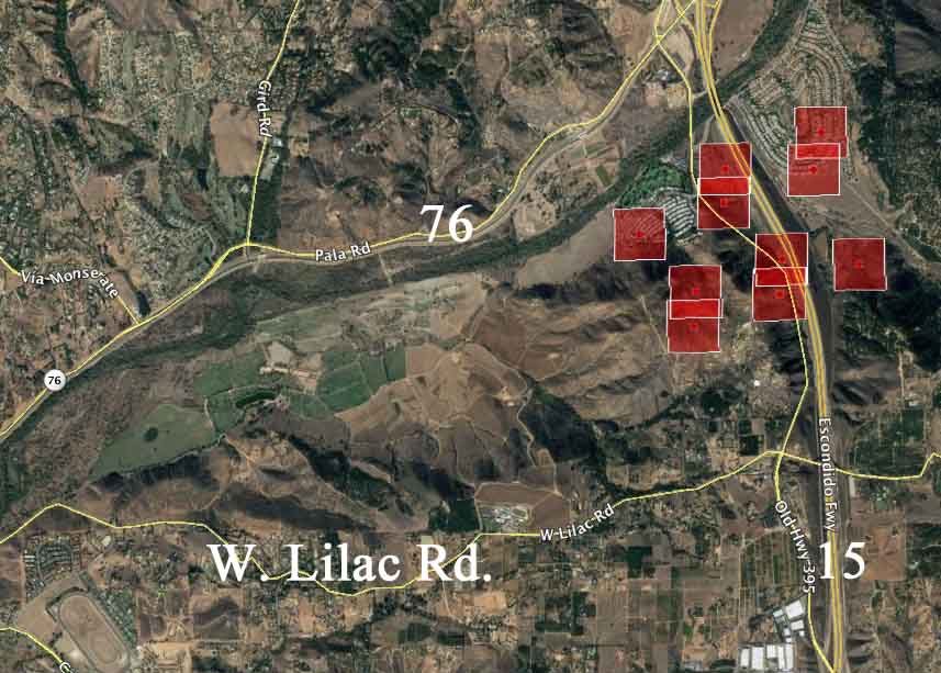
Fire maps are specialized visual representations that display various aspects of wildfire risk, including current fire locations, historical fire data, and zones of high vulnerability. They are created using satellite imagery, aerial reconnaissance, and on-the-ground data collection, which provide up-to-date information on active fires, predicted fire spread, and potential evacuation routes. Organizations such as the Canadian Wildland Fire Information System (CWFIS) provide access to these maps, allowing residents to stay informed and prepared.
Current Events and Relevant Data
This year, wildfires have affected several regions across Canada, with British Columbia and Alberta facing some of the most severe situations. As of August 2023, wildfires have scorched over 1.5 million hectares in these provinces, leading to the evacuation of thousands of residents. The ever-evolving nature of these fires necessitates that residents stay connected to real-time fire updates through fire maps. Local fire authorities have also been utilizing fire maps to efficiently allocate resources and establish firebreaks in strategic areas.
Accessing Fire Maps
For public safety, emergency management agencies encourage residents to frequently check fire maps. These maps are available through several channels, including provincial wildfire management websites, the CWFIS platform, and popular mapping applications. In addition, mobile apps are available to send alerts and notifications about fire risks based on user location, enhancing accessibility and ensuring that individuals are better prepared.
Conclusion
Fire maps serve as a fundamental tool in wildfire management and emergency preparedness efforts in Canada. Their role in delivering crucial information cannot be overstated, especially in light of the increasing frequency of wildfires. As climate change progresses, the importance of staying informed through fire maps will only grow, underscoring the need for communities to remain vigilant and prepared. By understanding and utilizing these maps, individuals can take proactive steps to protect themselves and their families from the threat of wildfires.