The Importance of Smoke Maps in Air Quality Monitoring
Introduction
The rising prevalence of wildfires and other sources of pollution has made the importance of smoke maps more evident than ever. Smoke maps provide real-time data on air quality that can significantly impact public health and safety. As communities across Canada continue to face climate-related challenges, understanding how to read and interpret these maps has become essential for residents and policymakers alike.
What Are Smoke Maps?
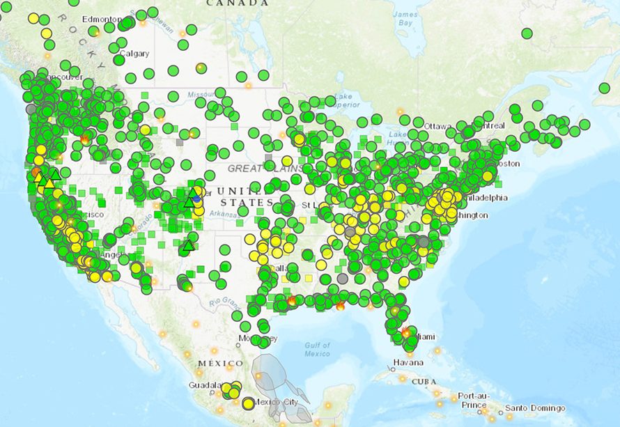
Smoke maps are tools used to visualize the distribution of smoke particles in the air, often generated by wildfires, agricultural burns, and industrial activities. These maps utilize satellite data, ground measurements, and atmospheric models to create a comprehensive picture of air quality. Major sources include NASA’s Moderate Resolution Imaging Spectroradiometer (MODIS) and the National Oceanic and Atmospheric Administration (NOAA), which help track pollution patterns.
Recent Developments
In Canada, particularly as the wildfire season intensifies each summer, the use of smoke maps has escalated. For instance, the Canadian Wildfire Service reported an early start to the wildfire season in 2023, with smoke maps showing air quality alerts stretching from British Columbia to Ontario. Health officials have emphasized the importance of using these maps to monitor air quality levels, especially for vulnerable populations such as children, the elderly, and individuals with respiratory conditions.
How to Use Smoke Maps
Using a smoke map involves several steps:
- Check the color-coded legend that indicates smoke intensity levels, ranging from good air quality to hazardous conditions.
- Identify your location and see the corresponding data to understand the potential impact on health.
- Stay updated with real-time changes, as conditions can vary rapidly due to wind shifts and fire activity.
Conclusion
The significance of smoke maps cannot be overstated. As air quality continues to deteriorate due to environmental factors, awareness and use of smoke maps will become integral in protecting public health. The future holds promise for technology that may enhance the precision of these tools, ensuring communities are better prepared as wildfire seasons become more severe. For Canadians, staying informed through smoke maps is key to mitigating health risks associated with poor air quality.