The Importance of Smoke Maps in Tracking Air Quality
Introduction
Understanding air quality is crucial for public health, particularly in Canada, where wildfire seasons can significantly impact urban and rural environments. Smoke maps have become essential tools for monitoring these air quality changes. Through real-time data visualization, these maps help individuals and communities respond effectively to hazardous air conditions.
What Are Smoke Maps?
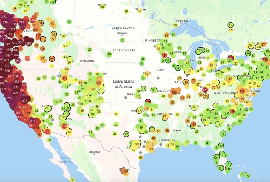
Smoke maps are graphical representations that depict the spread and intensity of smoke in the atmosphere, primarily due to wildfires. They utilize satellite imagery and ground-based measurements to offer accurate information on smoke concentrations across specific geographical areas. Particularly relevant to regions affected by wildfires like British Columbia, Alberta, and the Northwest Territories, these maps play a key role in alerting residents about potential health hazards.
Recent Developments
This past summer, Canada experienced one of the worst wildfire seasons on record, leading to a dramatic increase in the utilization of smoke maps. In July alone, over 30,000 hectares were burned in wildfires across the country. The Canadian Wildland Fire Information System reported that smoke plumes affected air quality as far as the eastern United States, demonstrating the extensive reach of this environmental issue. Government agencies have heightened their emphasis on making smoke maps accessible to the public, ensuring that individuals can stay informed about air quality and make necessary precautions.
Benefits for Public Health
Smoke maps are not merely tools for visualization; they offer significant benefits for public health and safety. By providing timely information about air quality, these maps can guide vulnerable populations, such as those with pre-existing respiratory conditions, to take protective measures. For example, during days with hazardous smoke levels, health advisories can encourage people to limit outdoor activity and utilize air filtration systems indoors.
Future of Smoke Mapping
As climate change continues to intensify wildfire risks, the role of smoke maps is expected to grow. New technologies, such as drone surveillance and improved satellite imagery, promise even more accurate and timely data on smoke dispersion. Collaborations between governmental bodies and research institutions aim to enhance smoke tracking systems, ensuring that communities are better prepared for future wildfires.
Conclusion
The integration of smoke maps into public safety protocols signifies a proactive approach to managing air quality amid increasing climate challenges. For Canadians, understanding how to interpret and react to these maps can mitigate health risks associated with wildfire smoke. As advancements in technology improve data accuracy, smoke maps will remain indispensable in safeguarding the health of communities nationwide.


